More control than a basic GPS app. More flexibility than a dedicated chartplotter. Here is everything iNavX puts in your hands — one capability at a time.
01Your helm, in your pocket
Turn your iPhone into a chartplotter.
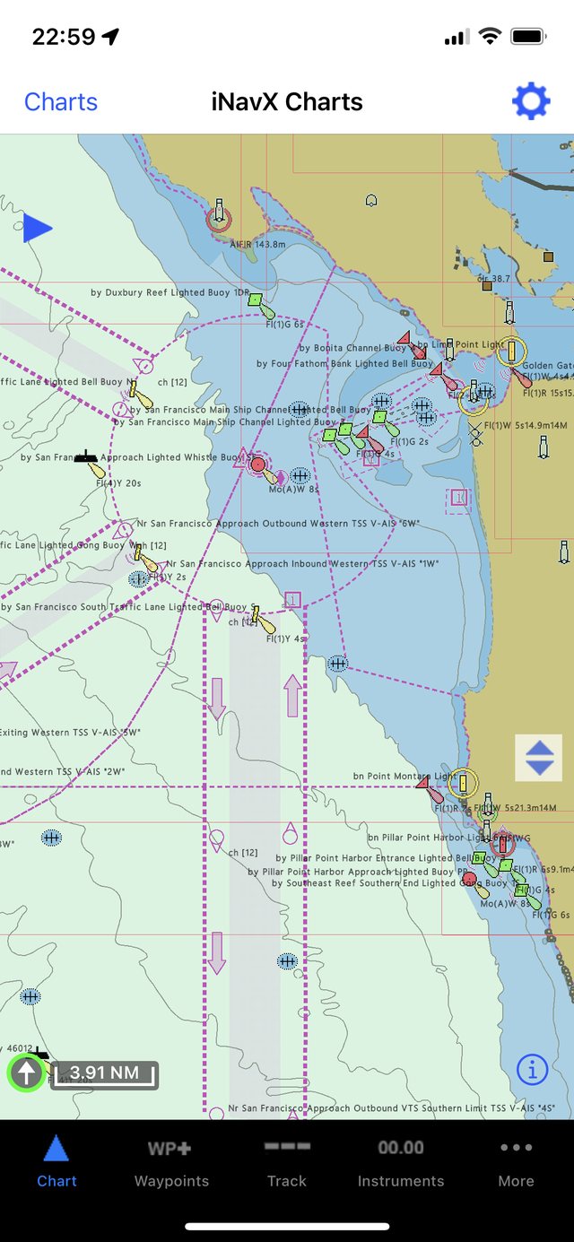
Live GPS on high-resolution NOAA and vector charts, with instrument overlays reading speed, heading, and depth. Everything a $2,000 dedicated plotter does — in the device already in your pocket.
Live GPS positioning
Raster & vector charts
Instrument overlays
02Arrive with a plan
Plan your next route.
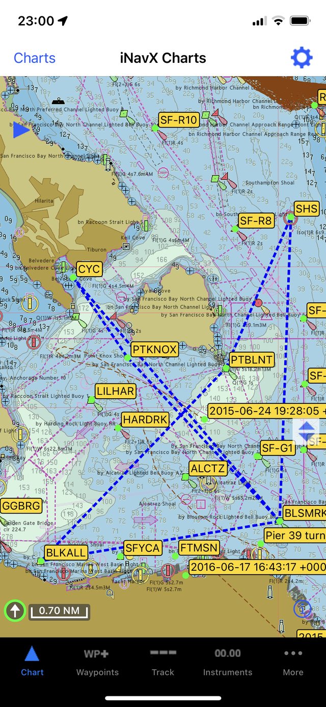
Build multi-leg routes at the dock, check bearing and distance for every leg, then follow turn-by-turn guidance underway. Export to your crew or import a track you already trust.
Multi-leg route builder
Bearing & distance per leg
GPX / KML import-export
03See and be seen
Navigate with AIS.
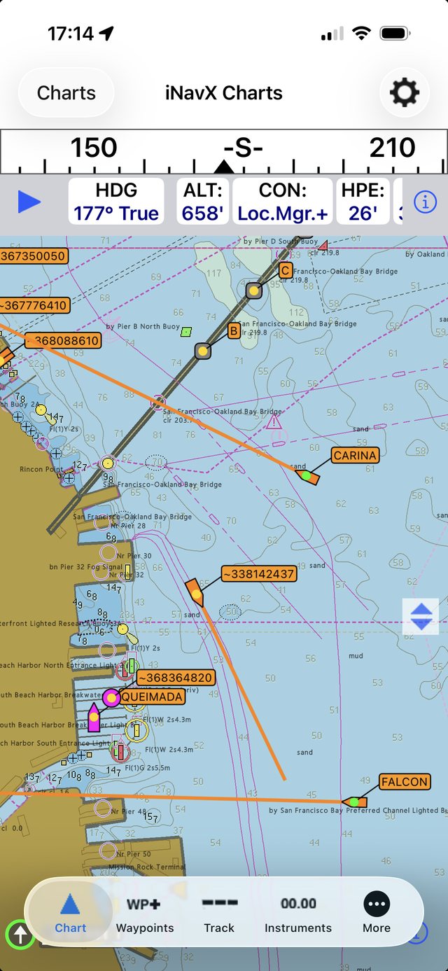
Overlay live vessel traffic on your chart, watch closest-point-of-approach and time-to-CPA update in real time, and get alerted before a situation becomes a risk. Confidence in fog, traffic, and night passages.
Live AIS targets
CPA / TCPA alarms
Vessel detail on tap
04Decide before you leave the dock
Know the weather before you go.
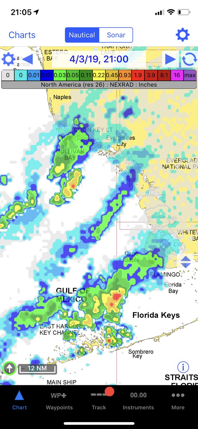
Download GRIB forecasts for wind, waves, and pressure, and read tides and currents for your exact position. Make the go / no-go call with real data — not a hunch.
GRIB wind & wave
Tides & currents
Route weather routing
05Beyond cell coverage
Navigate offline.
Charts live on your device and your GPS works with no signal at all — so you stay oriented miles offshore, in the islands, or anywhere the bars run out. The tool you can rely on when it matters most.
Charts stored on device
Full offline GPS fix
Nothing to lose at sea
Pro-grade under the hood
The control serious captains expect.
01
Advanced Chart Plotter
Plot your live GPS position on high-resolution raster and vector charts. Pan, zoom, rotate, and read depth at a glance — with real-time instrument overlays.
Real-time GPS fix
Pan · Zoom · Rotate
Live instrument overlay
Print any chart
02
Advanced Navigation
Build waypoints and multi-leg routes, watch bearing and distance update as you sail, and keep a full track log you can export anywhere.
Waypoints & routes
Bearing & distance
Track logging
GPX / KML import-export
03
Advanced Instrumentation
Turn your phone into a repeater. Stream NMEA data over TCP/IP, connect external GPS and AIS, and mirror your MacENC helm.
NMEA over TCP/IP
External GPS & AIS
MacENC repeater
Wind · Speed · Depth
04
Essential Toolkit
GRIB weather, tides and currents, anchor and AIS alarms, port search, and a searchable history — the everyday tools that keep you safe.
Everything from charts and coverage to AIS, NMEA, and offline navigation — pick a topic to dig in.
iNavX is available in the Apple App Store and the Google Play Store. It's a universal app, so a single purchase runs on every iPhone and iPad tied to your Apple account.
iNavX supports any iOS device running iOS 10 or higher, and any Android device running 4.4W or higher.
Yes. As a universal app it can be used across every device that shares the same Apple or Google Play account — your charts, routes, and waypoints follow you.
App updates are free through the App Store and Google Play. There is no trial or demo version — Apple's official policy is not to allow trial or demo versions of apps.
No. It is our policy never to include advertisements in iNavX.
No. High-resolution NOAA charts for US waters are included free of charge.
Yes. Additional charts require an in-app purchase from the Chart Store. Many premium charts also work with MacENC or GPSNavX.
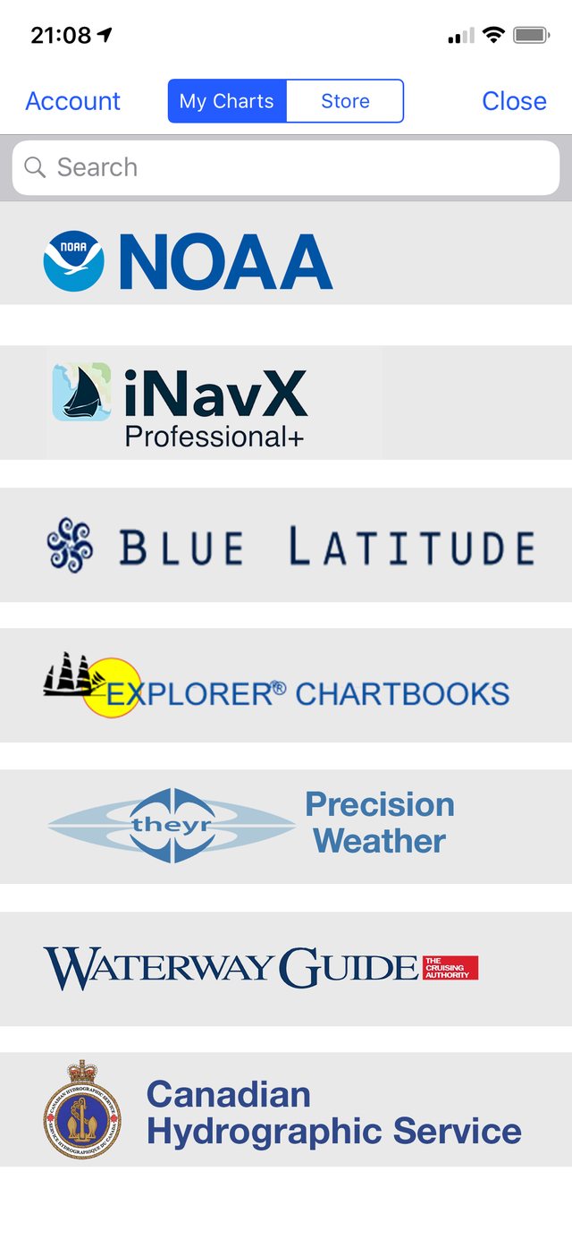
NOAA US waters plus a worldwide selection of premium charts. Browse the in-app Chart Store to see current coverage for your cruising grounds.
Yes. Charts download from the official server and can be updated throughout your subscription. Chart updates stop once a subscription ends.
Yes — charts are stored locally so no internet connection is needed once they're downloaded. Storage depends on quantity, but individual charts are typically under 1 MB and can be deleted at any time.
No. A connection is only needed to download charts. After that, navigation works fully offline.
No. Charts download directly from the server and only work inside the iNavX apps.
Yes, using the built-in GPS. Tracking works even without cell service.
Yes — including Bad Elf, Dual XGPS150/170, Garmin GLO, and Magellan ToughCase.
Yes. The compass is used to orient your position, course-up view, and heading in the Instruments view.
Yes. Tap any value — speed, course, wind, satellites, route, or depth — to bring up an analog graphic.
Nautical and statute miles, kilometers, yards, and meters; true or magnetic bearings; and multiple coordinate formats, all using Great Circle routing.
Yes, over TCP/IP. Targets plot with real-world scaling, and SART and NavAids are supported (iOS only).
Yes. The iNavX AIS LIVE service delivers targets within 30 NM of your position or a chosen waypoint.
Yes, via recommended multiplexers (iOS only), including Brookhouse, Comar, Digital Yacht, ShipModul, and Vesper. iNavX becomes a full repeater for wind, speed, and depth.
Yes on iOS, plus high-resolution weather from Theyr — so you can make a confident go / no-go call before you leave the dock.
Import and export via email (including MotionX and Google Earth) or through iTunes file sharing.
Yes — export the track via email and open it in Google Earth.
NOAA charts back up to iCloud when enabled. Chart files are not archived to a computer.
Email the details to support@inavx.com and our team will follow up.
Help & Support
We're on watch when you need us.
Guides, topic-by-topic help, and real people who sail. However you like to get unstuck, there's a way in below.