
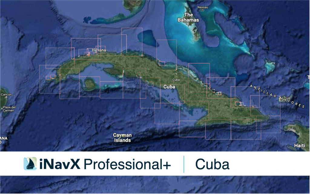
The iNavX Professional+ Cuba Chart delivers hi-res vector charts for Cuba waterways. The chart sources are based on ENC and additional sources published by Government Hydrographic offices and other providers. The iNavX Professional+ Cuba Chart is updated periodically in cadence with ENC updates.
Coverage includes and is not limited to Cuban coastal waterways.
ENC data supplied by Siitech Marine Inc.
Plan your next passage with the professional boater’s navigation app.
Get iNavX →